
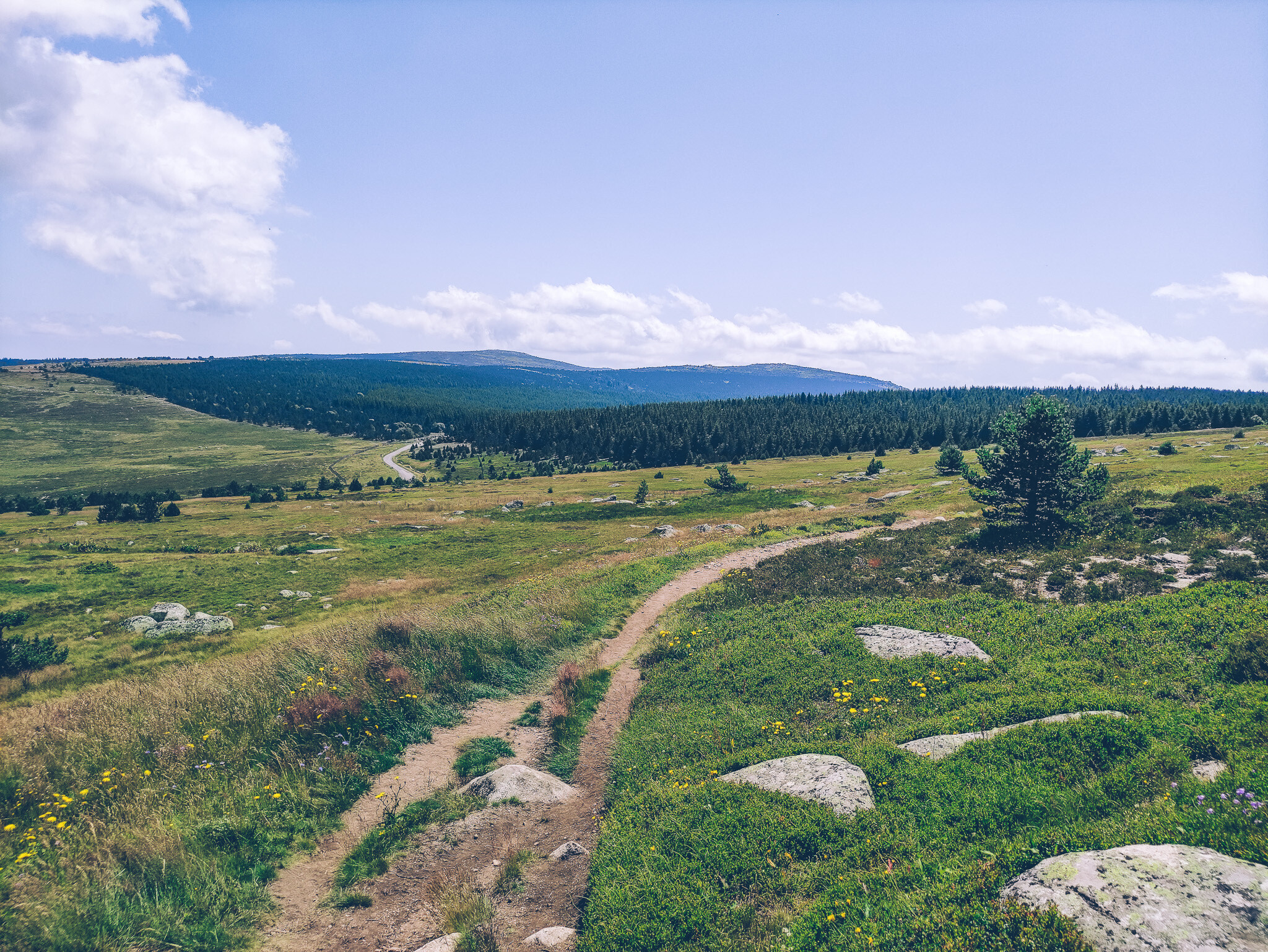
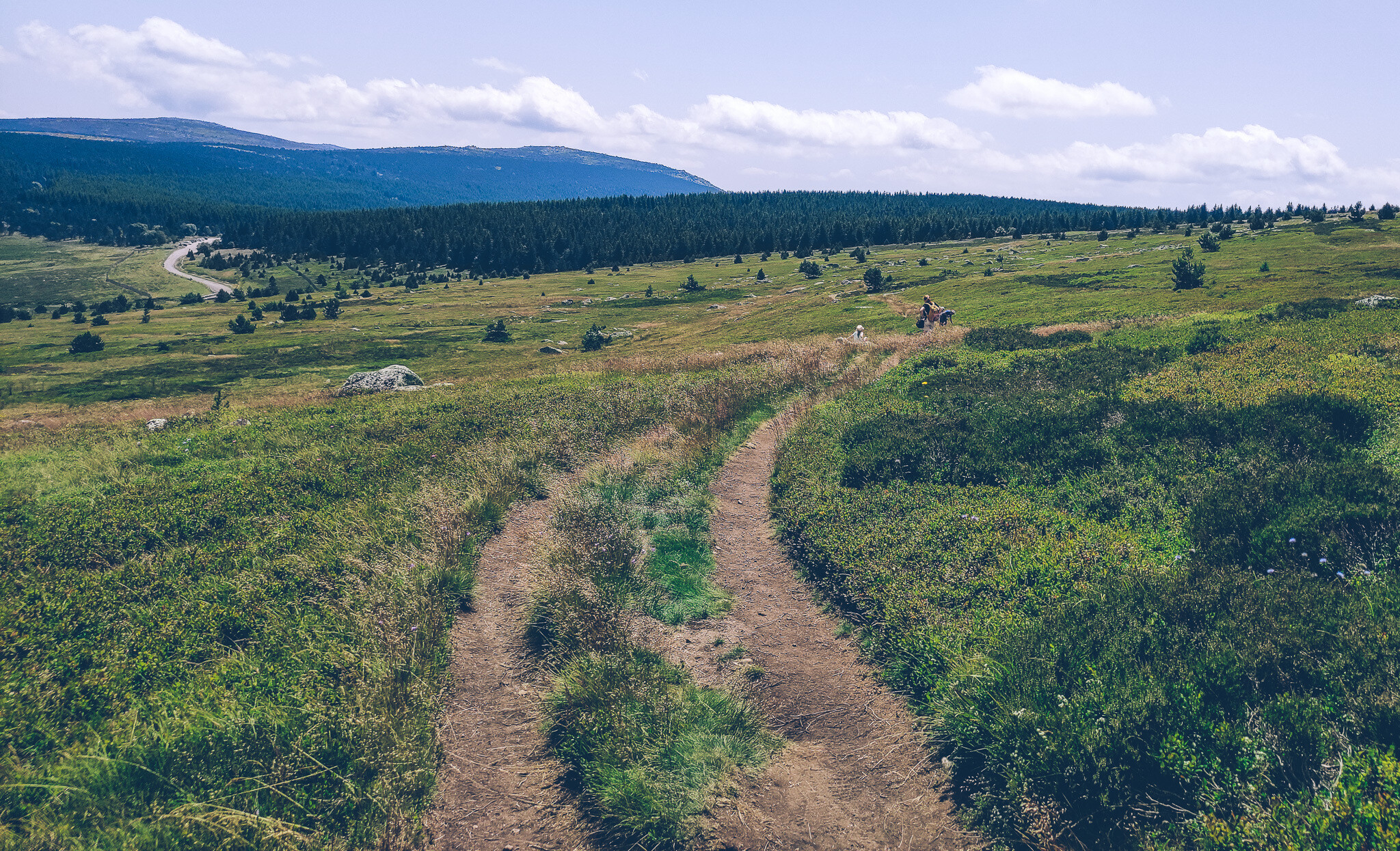
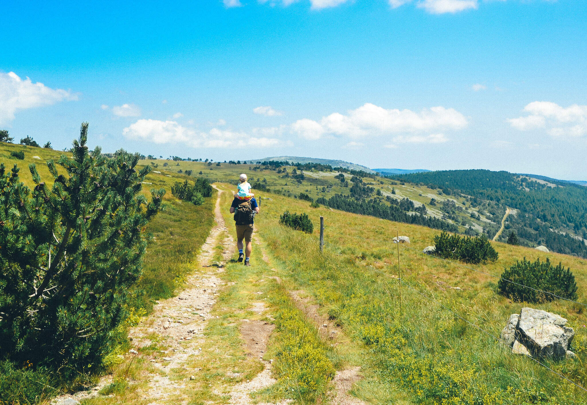
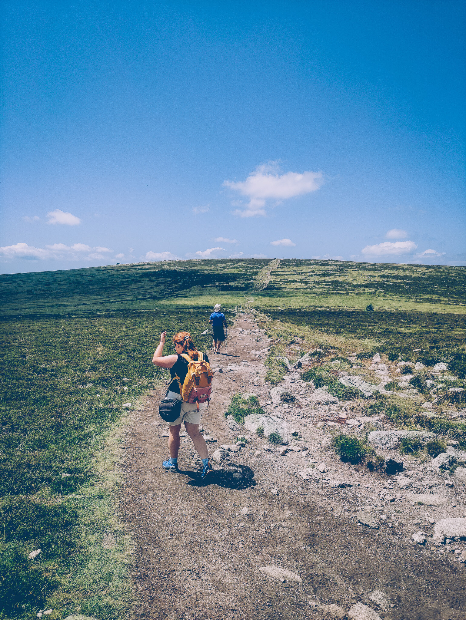
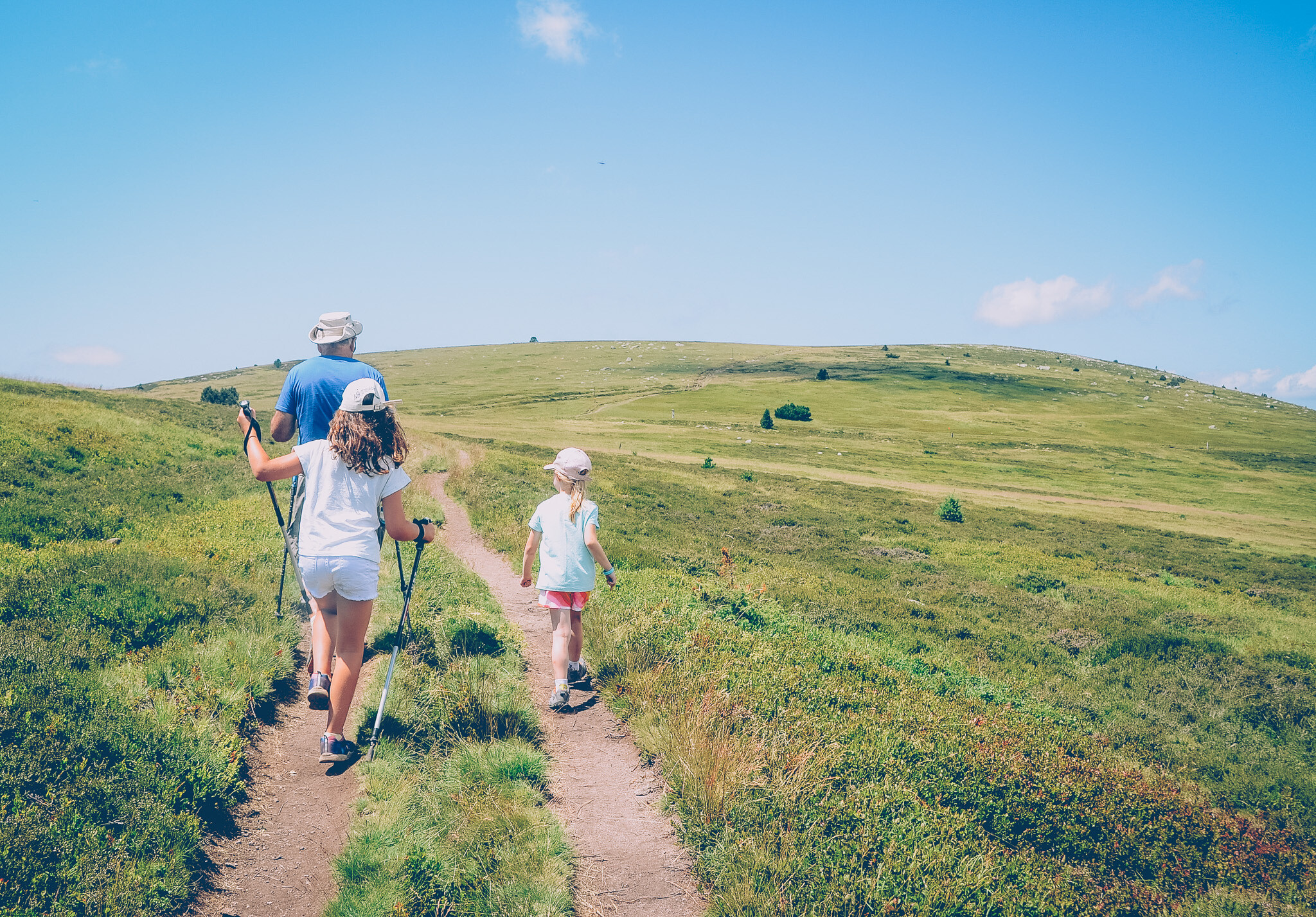
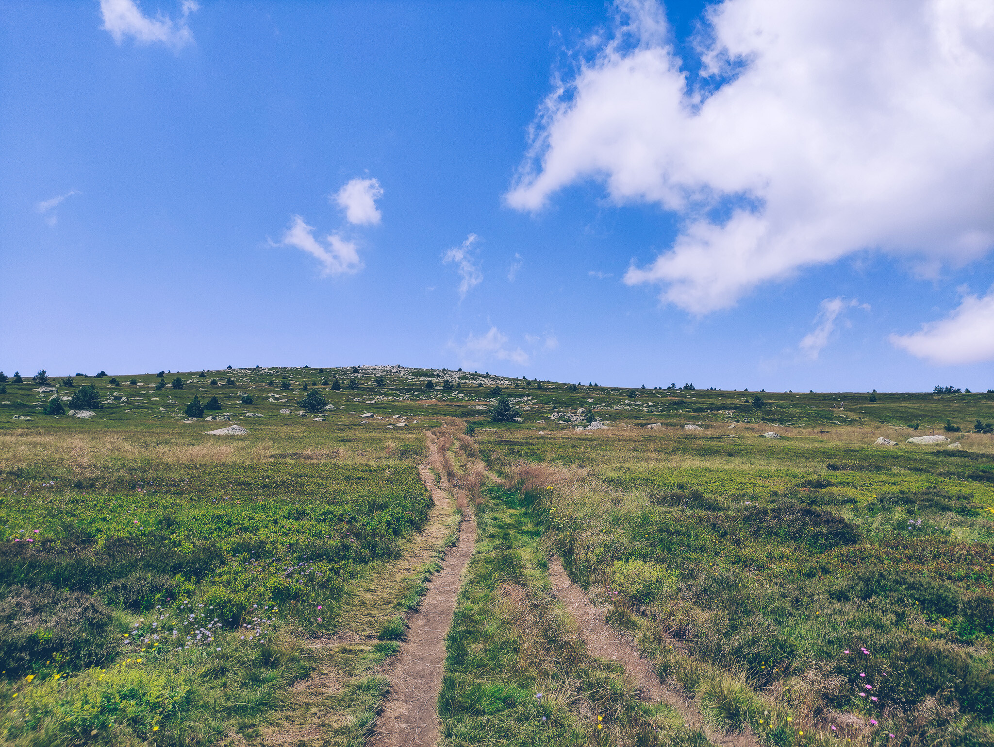
From the pass, a well-marked trail begins (part of the PR loop or variants connecting to the GR70 trail). The initial section gently ascends through an open, heath-covered plateau. The path is wide, clear, and very comfortable for walking.
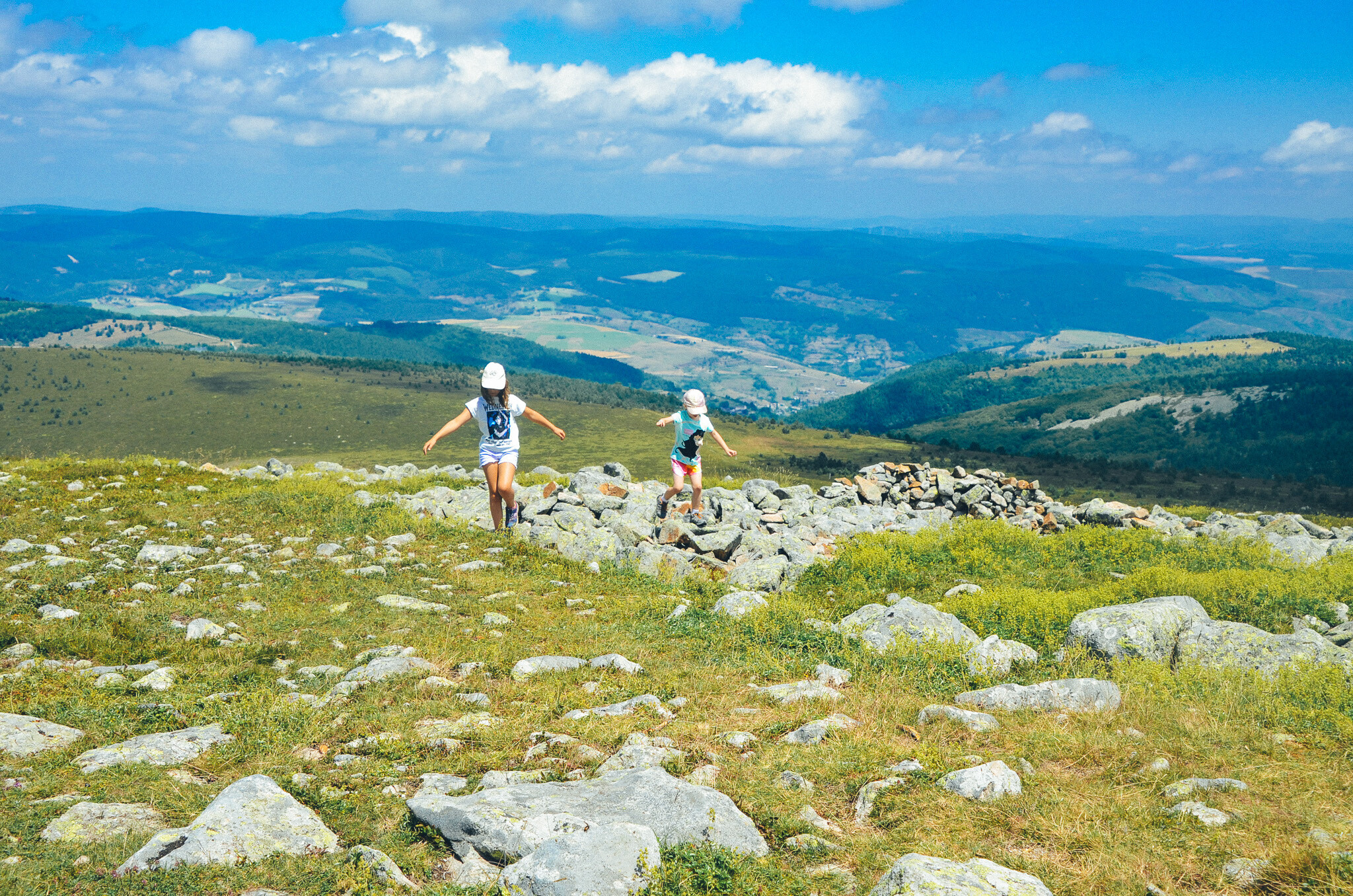
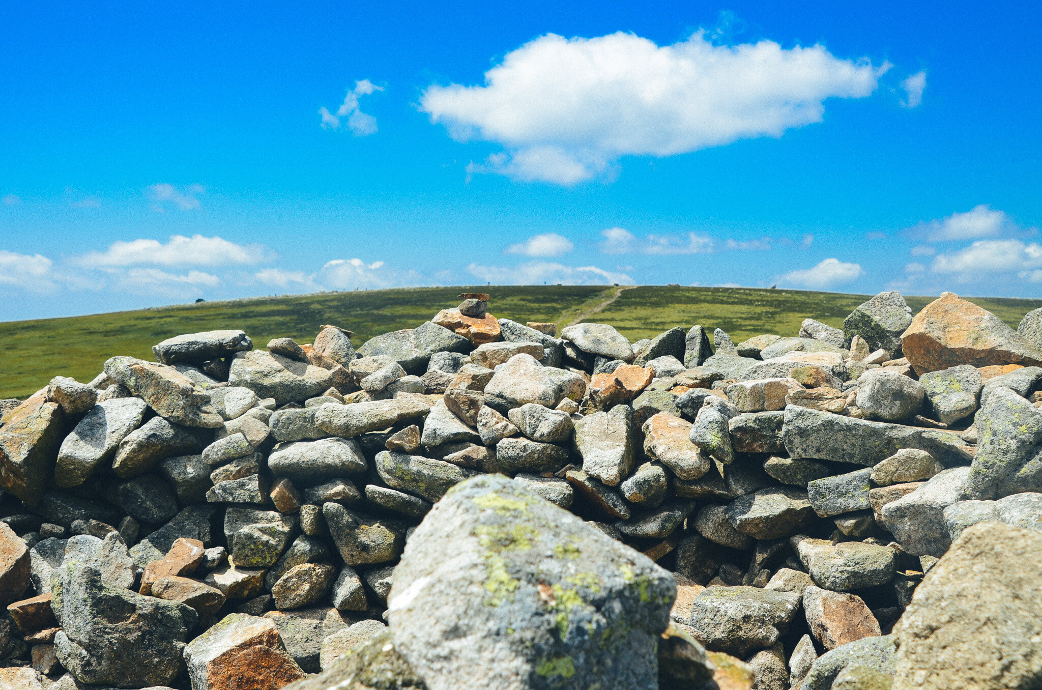
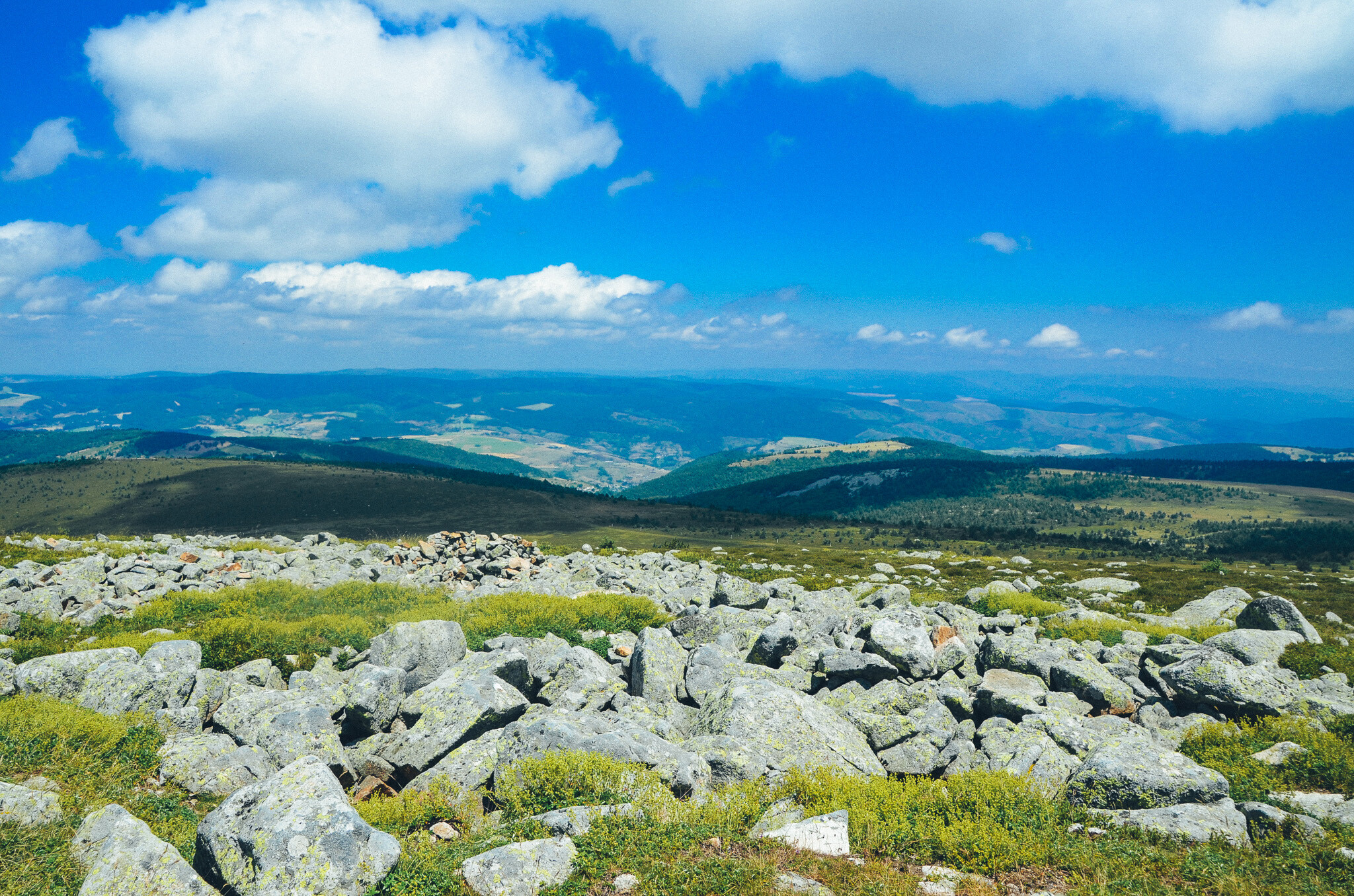
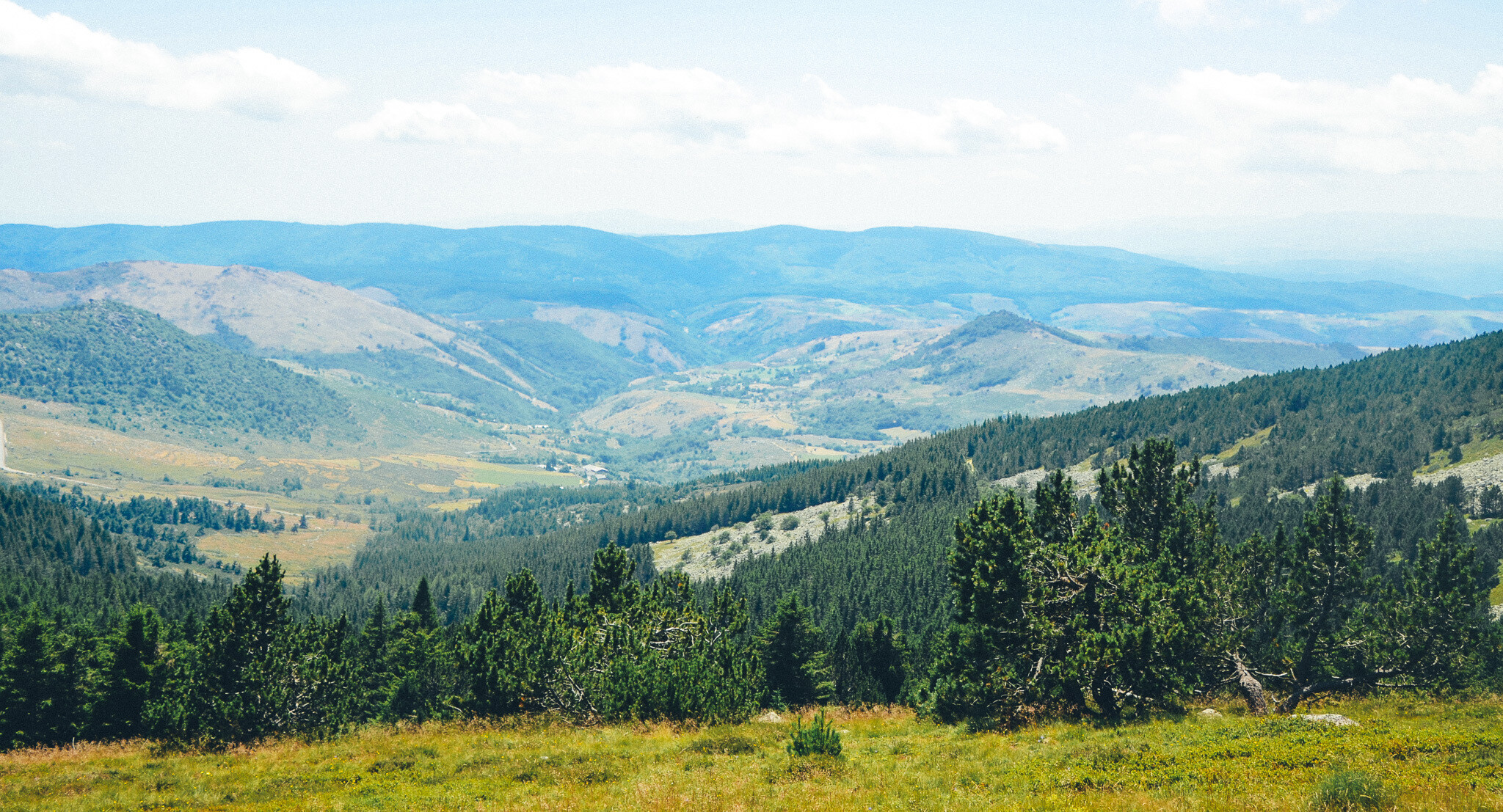
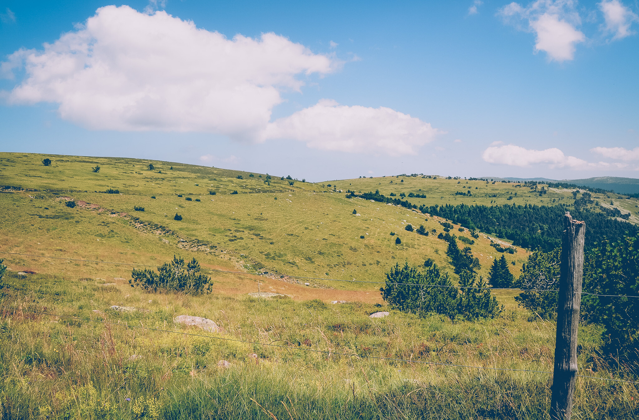
The return journey from the summit is pure pleasure, the trail gently leads downhill, and before your eyes, open spaces and sunny landscapes of Mont Lozère constantly unfold. The sandy-stony path winds among the undulating pastures, low pines, and fragrant heaths.
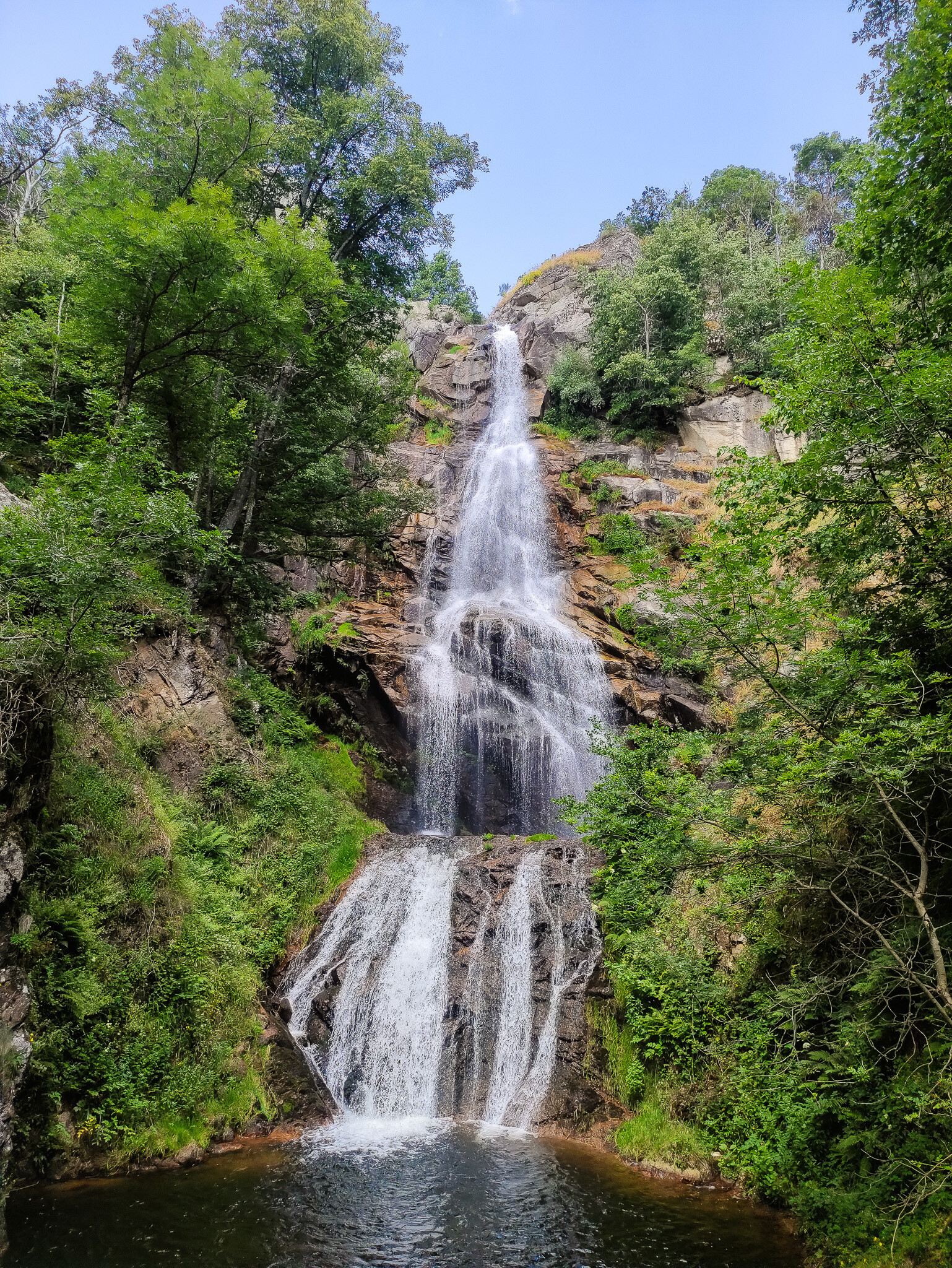
Cascade de Rûnes Waterfall
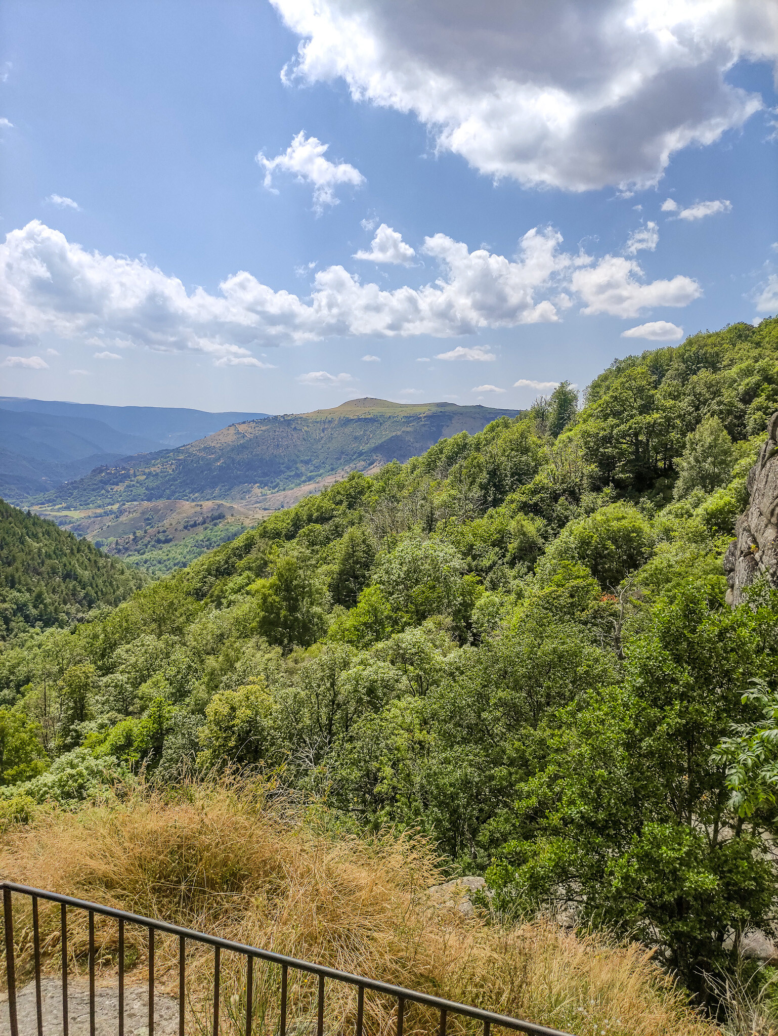
A little further along the trail, near Pont-de-Montvert, we come across another extraordinary place, the spectacular waterfallCascade de Rûnes. The water cascades down from a rocky ledge from a height of nearly 60 meters directly into a deep granite basin surrounded by lush greenery and rugged rocks. It's the perfect stop for a moment of rest, rejuvenation, and to listen to the powerful roar of the water.
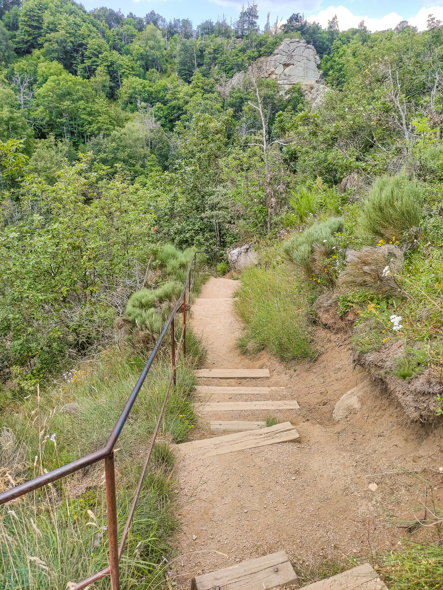
The waterfall is located right by the D998 road between Pont-de-Montvert and Florac. There is a small parking area available along the road. The descent down the path to the waterfall basin takes about 10-15 minutes (it can be slippery, so it's advisable to wear shoes with good soles).
When little legs start to slowly feel the kilometers traveled on the trail, the reliable "piggyback ride" comes to the rescue. From the perspective of dad's arms, the world looks even more interesting, and the descent towards the parking lot goes quickly, lightly, and in great spirits.
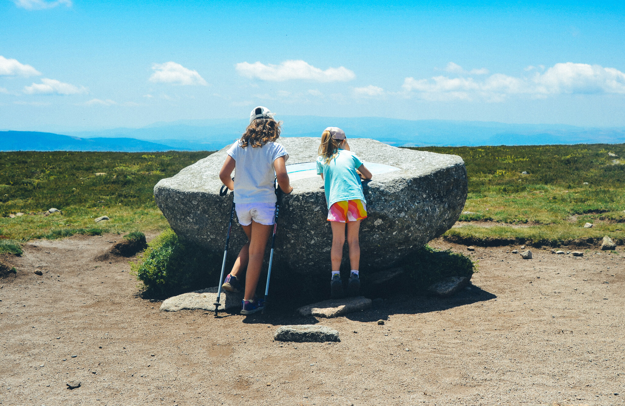
The final steps and at last we check in at the very top! The highlight here is marked by a massive granite boulder with a directional sign (table d'orientation) mounted on it. It was here that the girls spent a longer moment, curiously scanning the distant mountain ranges on the horizon and checking the map to see what exactly is around us. Standing there, with a gentle breeze blowing, one feels a sense of mastery over the entire region. From the surrounding 360-degree panorama, one can admire the undulating plateaus of Mont Lozère, the deep valleys of Cévennes, and with good visibility, even catch a glimpse of the Alps or the outline of the Mediterranean Sea on the horizon.
Such a reward at the summit makes all the effort of the ascent instantly forgotten, and for the youngest, reading the names of the peaks from the stone rose of the winds is a perfect way to end the mountain hike.
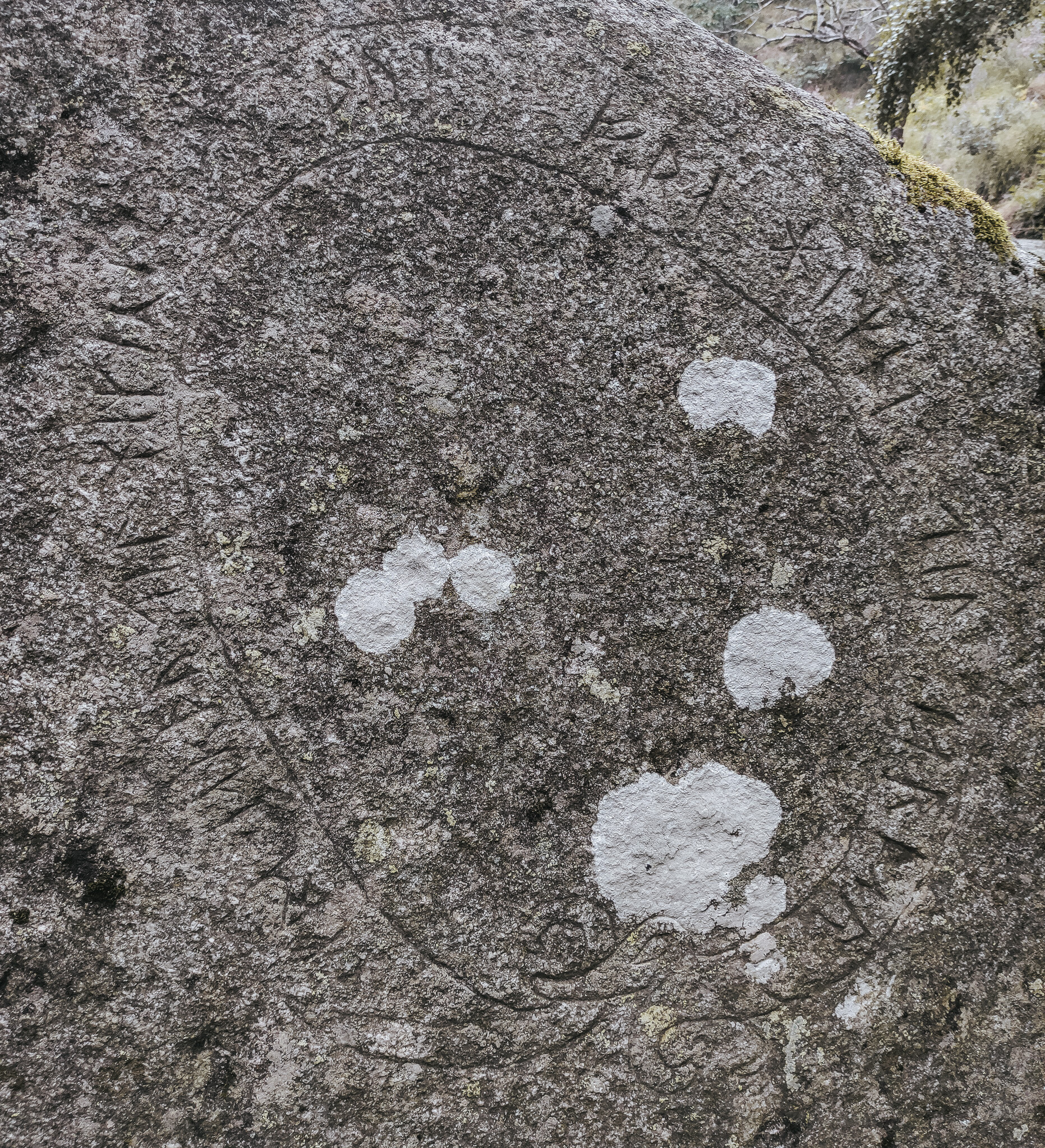
While strolling along the path by the Cascade de Rûnes, it’s worth keeping a close eye on the ground and the granite rocks surrounding the stream. On one of the stones, one can spot an unusual, mysterious carving, an inscription in a circle resembling mystical signs or secret runes, finished with an ornate ribbon at the bottom.
Although, as we know, the name Rûnes derives from the Celtic word meaning "rock debris" or "flowing water," such a sight of engraved signs on a lichen-covered stone perfectly fuels the imagination and adds an incredible, slightly mysterious atmosphere to this place.
What is remarkable on this trail is not only the views but also the encounters. Along the way, Tosia quickly befriended a little girl from Toulouse who was hiking through the Cévennes with her grandfather. Interestingly and delightfully, both spoke excellent English, which is not a given in the French mountains! The children's curiosity and the absence of language barriers made our shared stretch of the path pass unnoticed, in a lovely, intergenerational atmosphere.
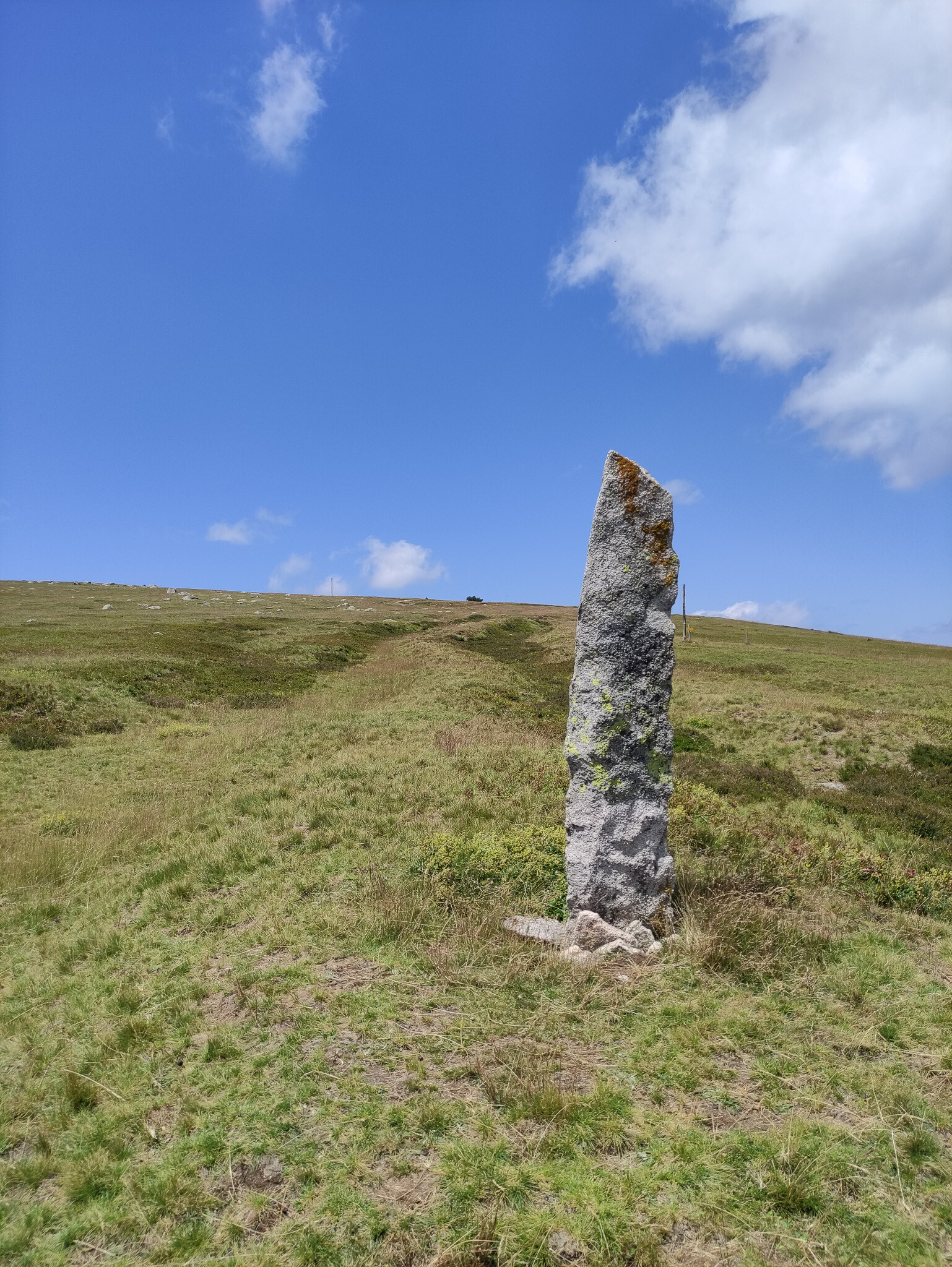
"Along the trail, we regularly pass by the characteristic, tall granite pillars known as montjoies. They mark the direction of the march and have an incredible history; in ancient times, they saved the lives of shepherds and travelers by indicating a safe path when thick fog or winter blizzards completely obscured visibility."
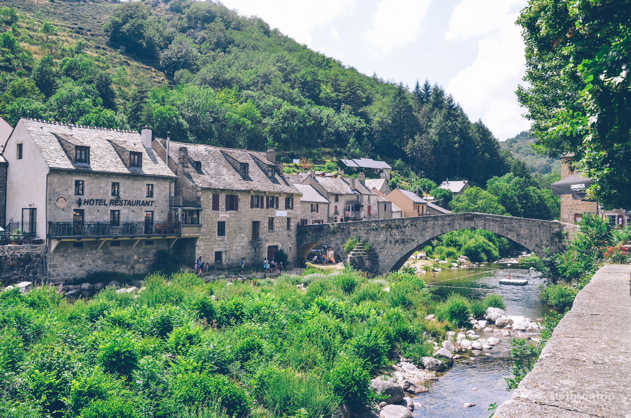
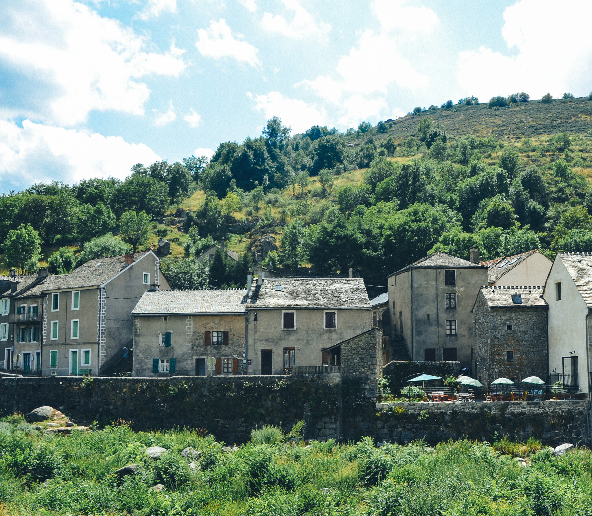
After a smooth descent from the summit and packing ourselves into the car, we set off along the winding road towards the charming Le Pont-de-Montvert. Since we started the hike early in the morning, we arrived in the town at the perfect moment, just before the French lunch break at 2:00 PM, which can be quite a feat in these parts! The narrow, granite streets at the foot of Mont Lozère were bustling with life, and the sound of the river Tarn flowing beneath the historic bridge created the perfect backdrop for a well-deserved meal. The town offers several excellent dining spots, from which we have selected three of the most interesting places for you.
1. Auberge des Cévennes - Pont de Montvert
-
Why it's worth visiting: Probably the most iconic place in the settlement. The restaurant is located in a traditional granite building right by the historic bridge, and its terrace offers a stunning view of the river Tarn and the cascades.
-
What to eat: They are famous for their local, exquisite aligot served with roasted sausage and traditional lamb dishes from Cévennes.
2. La Truite Enchantée
-
Why it's worth visiting: A cozy and laid-back eatery with a very friendly, family atmosphere, located near the riverbank.
-
What to eat: As the name suggests, their specialty is fresh, local trout (la truite) served with butter and herbs, as well as excellent salads with rustic Pélardon cheese and chestnuts.
3. Le Merlet (or Hotel-Restaurant de la Poste)
-
Why it's worth visiting: A great, authentic bistro focused on regional products from Lozère, offering very tasty, homemade daily menu (menu du jour).
-
What to eat: Brilliant artisanal cold cuts and pâtés to start, slow-cooked game stews, and homemade tarts with forest fruits.
Trekking at Pic de Finiels – parking, start, and route description
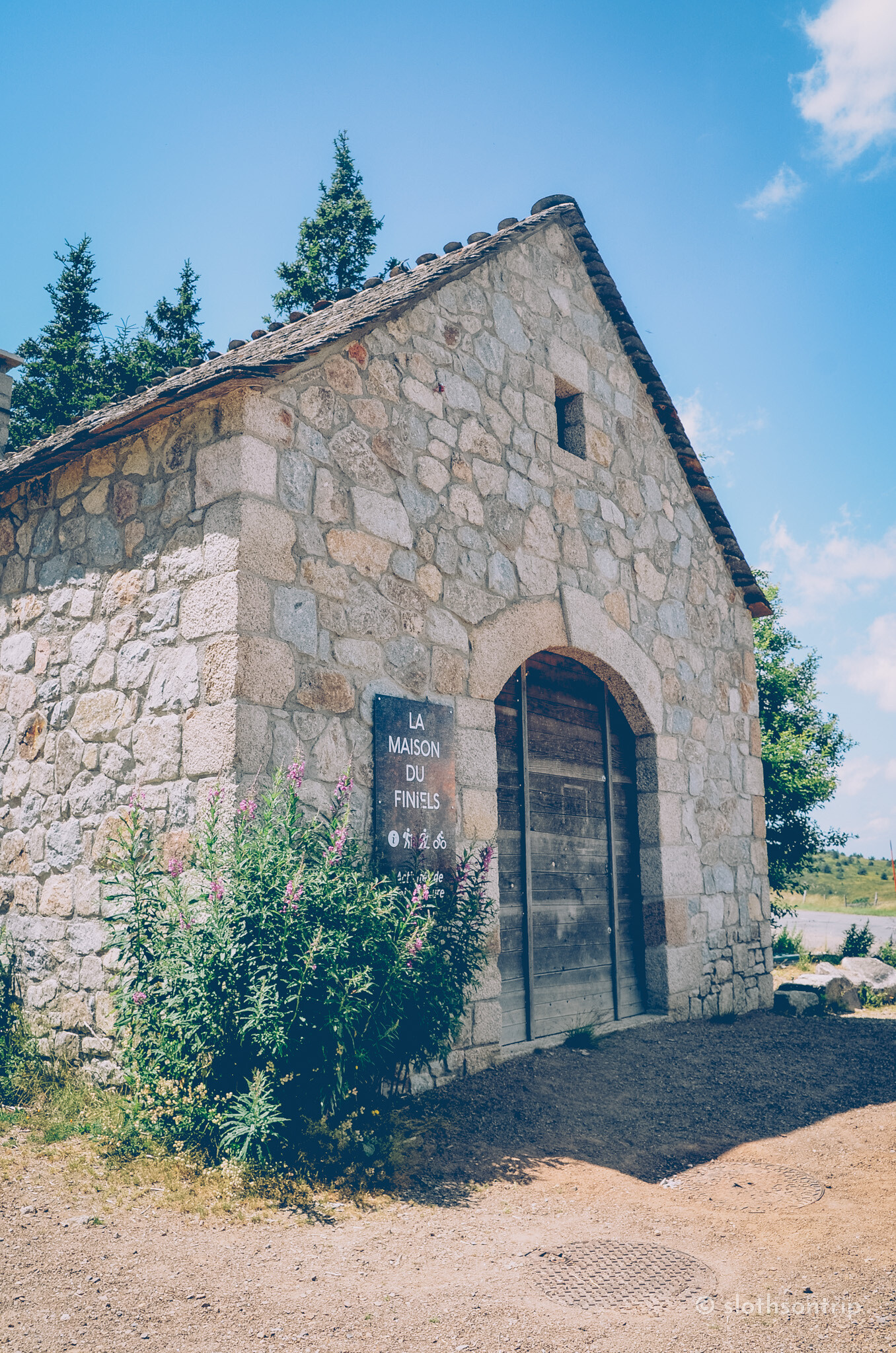
The most convenient starting point for the summit is the passCol de Finiels (1541 m a.s.l.), located along the picturesque D20 road connecting Le Bleymard with Le Pont-de-Montvert. There is a free parking area right by the road where you can easily leave your car before heading into the mountains.
The ascent begins directly from the parking lot and from the very first steps immerses you in the unique atmosphere of the Cévennes National Park.
Here is our entire route👉link to the route.
Is it worth visiting Pic de Finiels and the Cévennes?
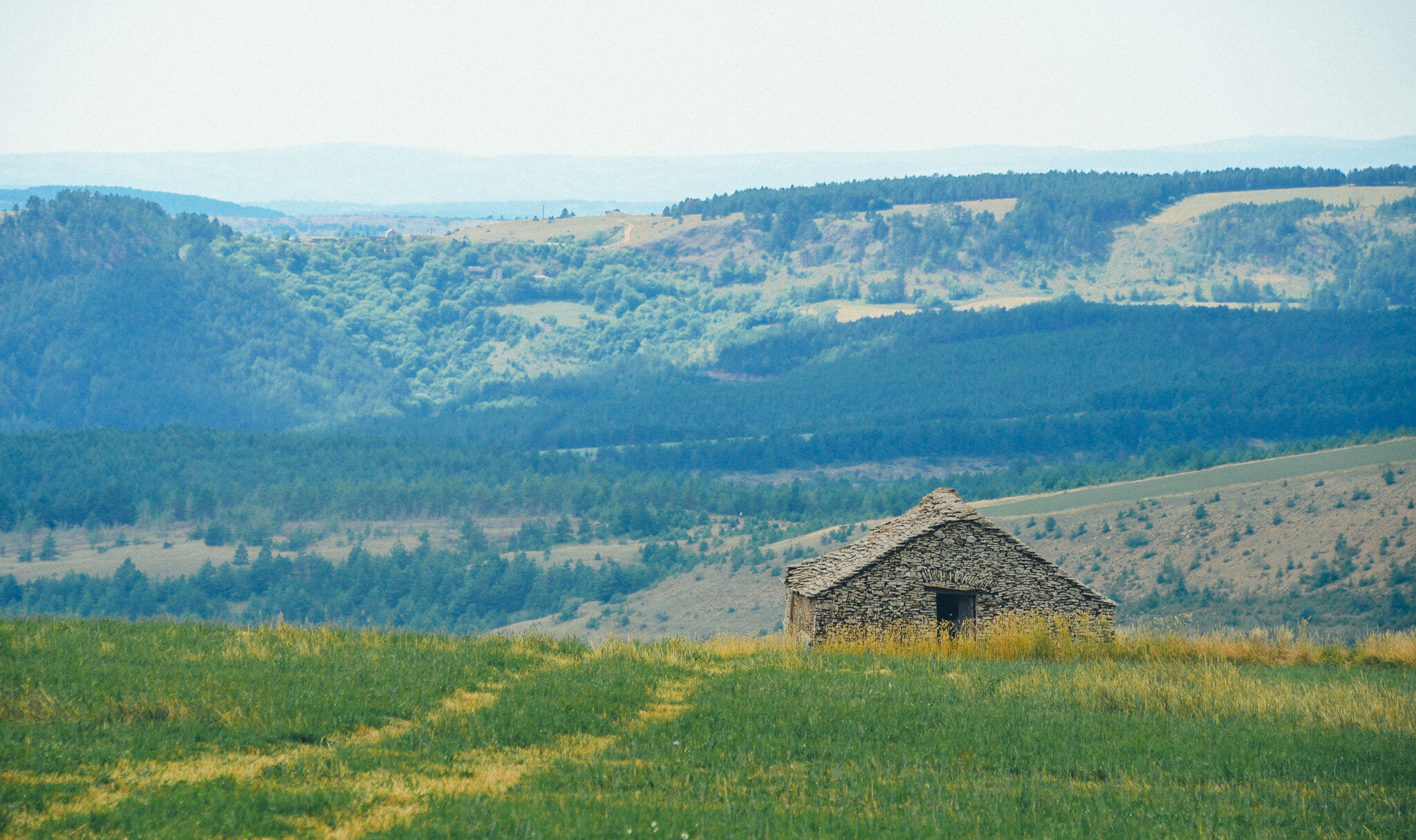
Cévennes National Park and Mont Lozère are spaces that impress with their rawness, silence, and authenticity. There is no commercialization, loud attractions, or crowds here. Instead, there is pure space, the scent of heather, granite rocks, the sound of waterfalls, and traces of a mysterious past scattered across the plateaus.
This is exactly why we liked it here so much. It is a dream place for hiking, a chance to escape the daily hustle and immerse yourself in nature in its purest form. Whether you stop by for a short walk to the menhirs at Les Bondons or decide on a full trek to Pic de Finiels, this region will surely stay in your memory for a long time.
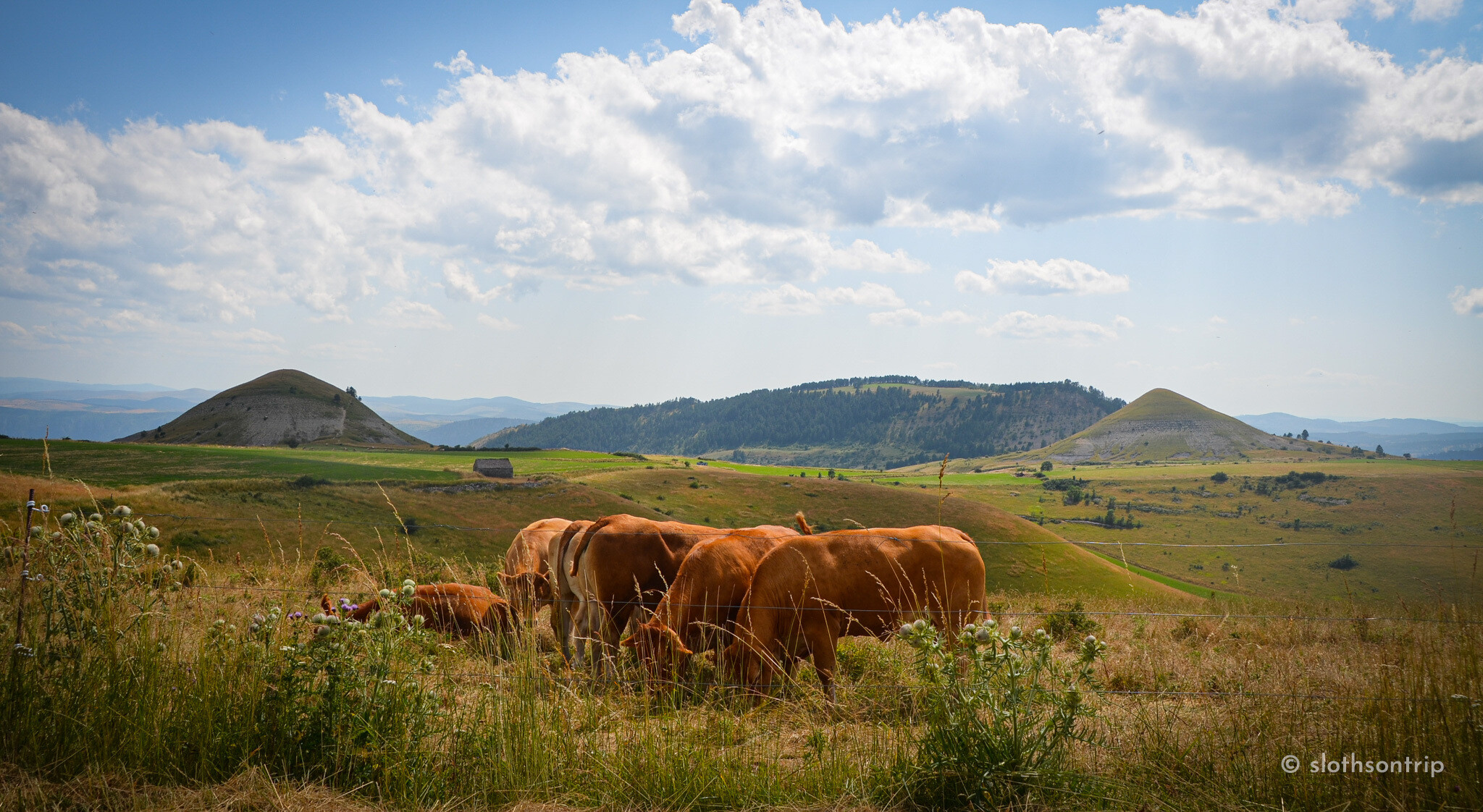
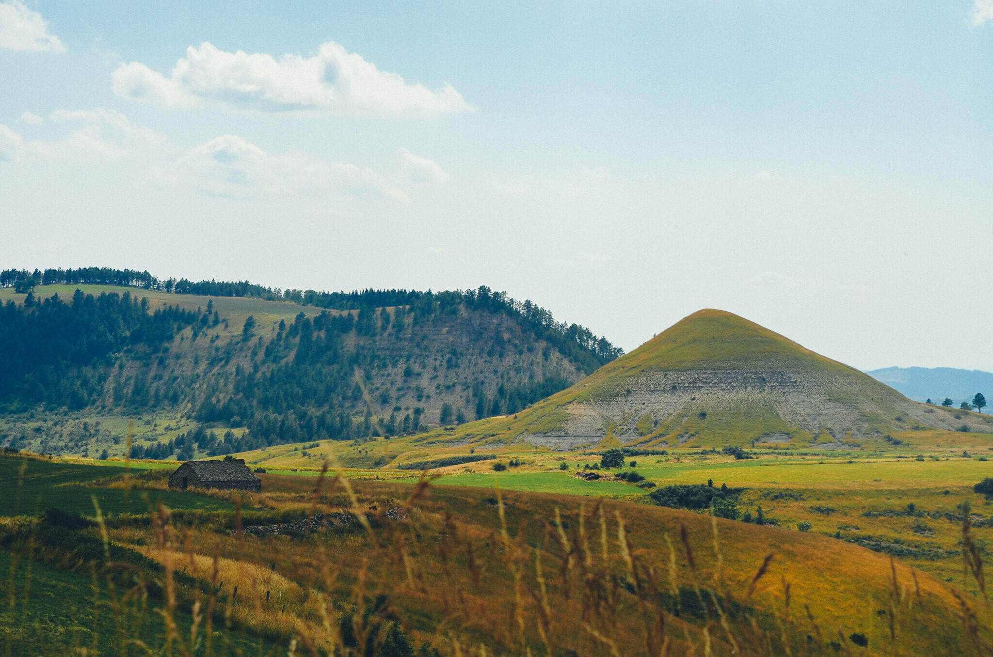
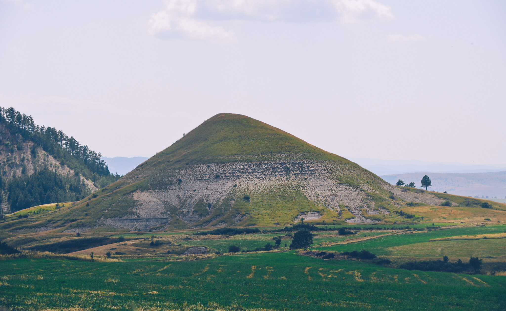
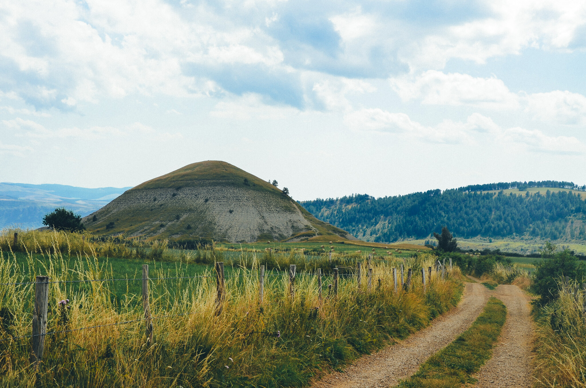
Here is a view that absolutely defines the pastoral yet rugged atmosphere of shepherding in the Cévennes National Park. In the foreground, a herd of reddish cows grazes leisurely on the grasses of the open plateau, while in the background loom two remarkable, perfectly conical rock formations, famousTrucs de Bondon (Truc de Mimat and Truc de Bondon).
These characteristic limestone monolithic cones emerging from the flat landscape resemble volcanic craters or mysterious, prehistoric mounds. It is here, surrounded by vast spaces and rolling hills, that one can feel the incredible harmony of traditional shepherding with the wild nature.
Cham des Bondons
At the very end of our route, we reached a place that is absolutely unique on a European scale,Cham des Bondons. This vast limestone plateau hides the second largest (after Brittany's Carnac) concentration of megaliths on our continent! Here, there are over 150 granite menhirs erected by humans in the Neolithic era, over 4000 years ago.
Cham des Bondons is a spot where it's worth stopping, even just for a moment, to take a commemorative photo of the amazing, mysterious monoliths emerging from the golden grasses of the plateau. And if someone has more time, it's worth taking a full multi-kilometer walk along the educational trail (Sentier des Menhirs) to feel the magic of this prehistoric place up close and see the largest clusters of standing stones.
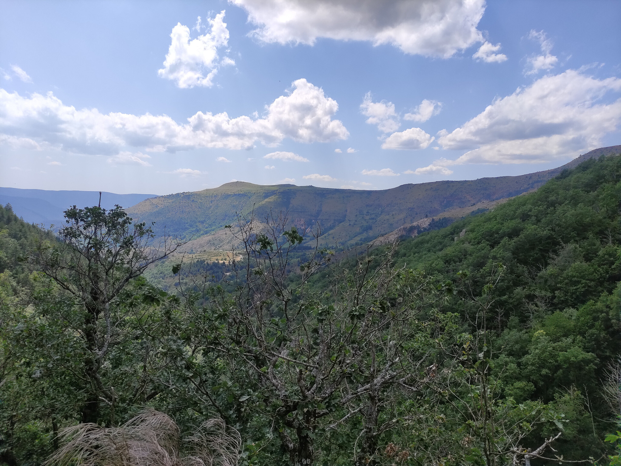
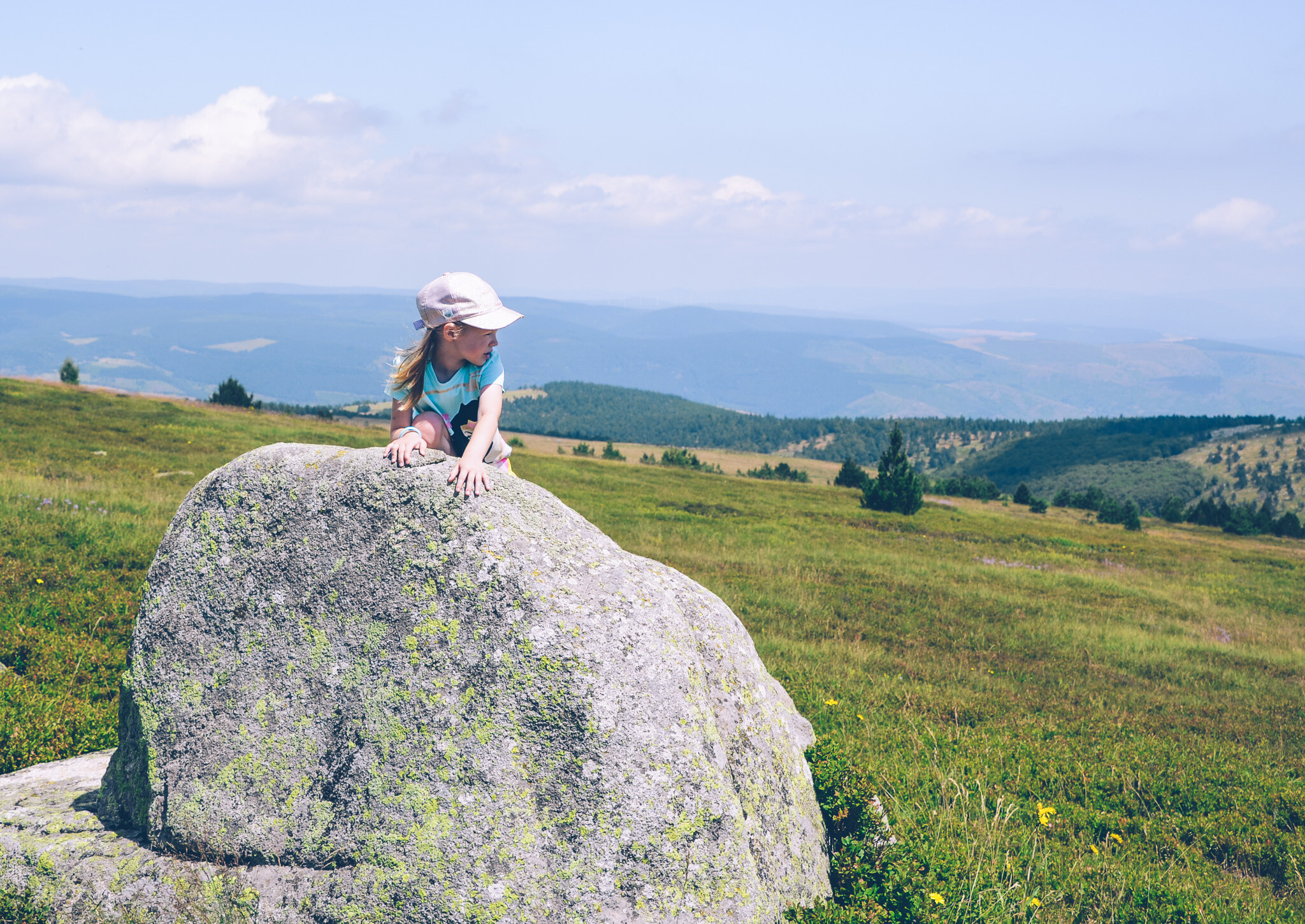
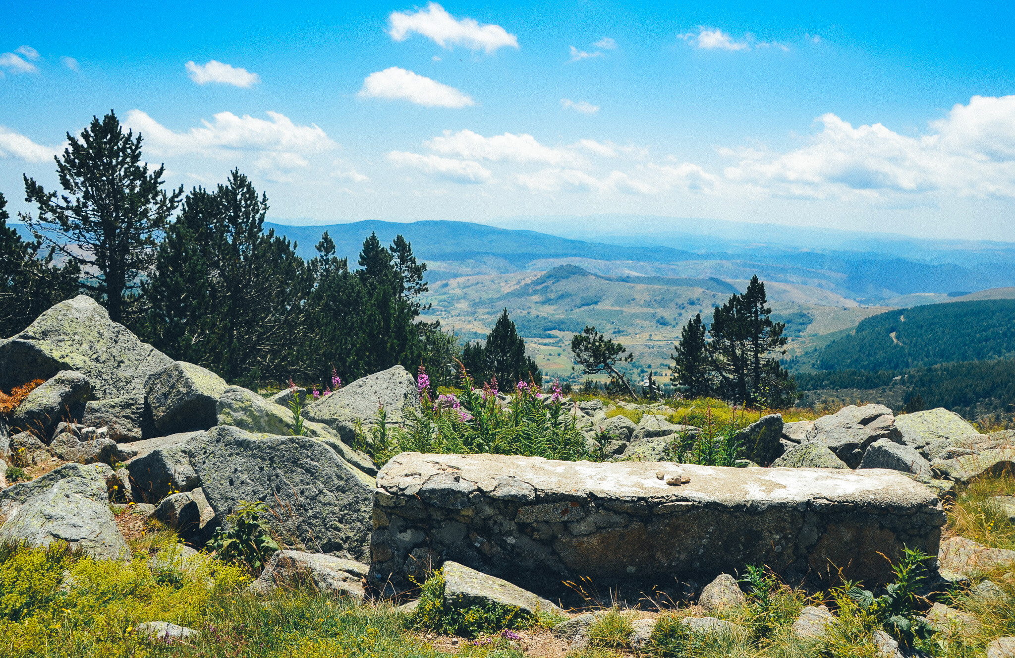
"On the way, we come across a brilliant spot for a short break for our legs and a little snack recharge; delicious madeleines taste twice as good in such natural surroundings! We sit down on a raw, stone wall integrated directly into the granite rocks, surrounded by blooming willow herb and clumps of mountain pines. It’s the perfect viewpoint to stop for a moment, take a deep breath, and simply look ahead at the valley stretching below."
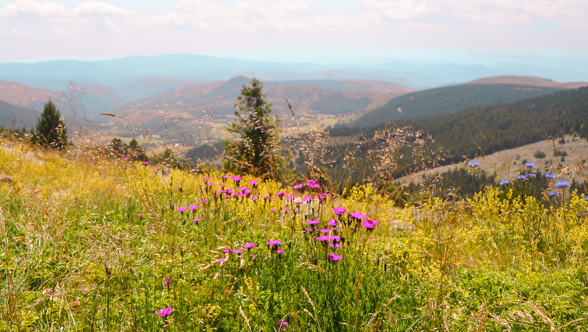
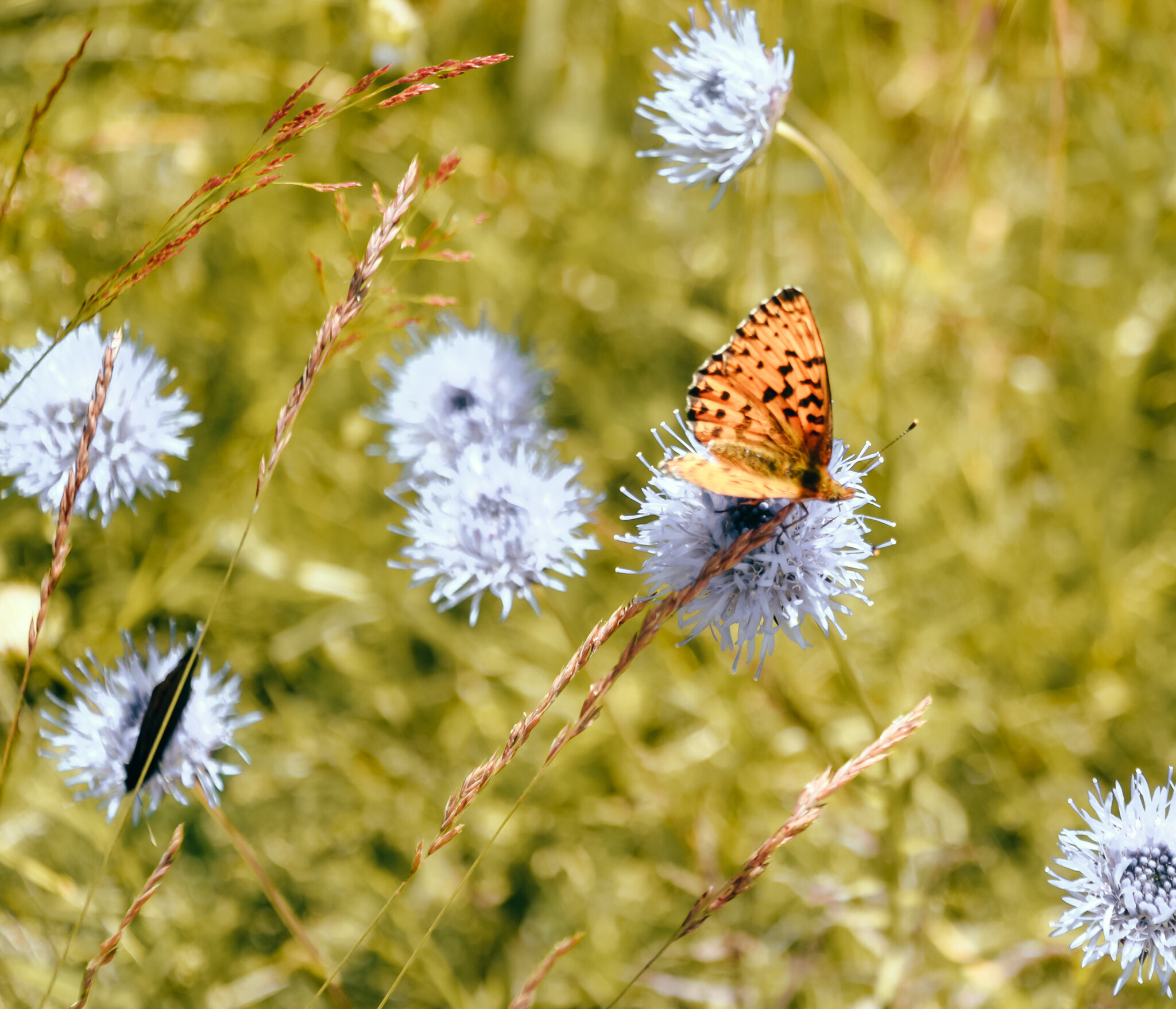
The round trip route (there and back variant) is about 8 km, which translates to a leisurely walk lasting from 2 to 2.5 hours (with extra time for souvenir photos at the summit). There is also a loop available if you want to return via a slightly different path, just like we did.
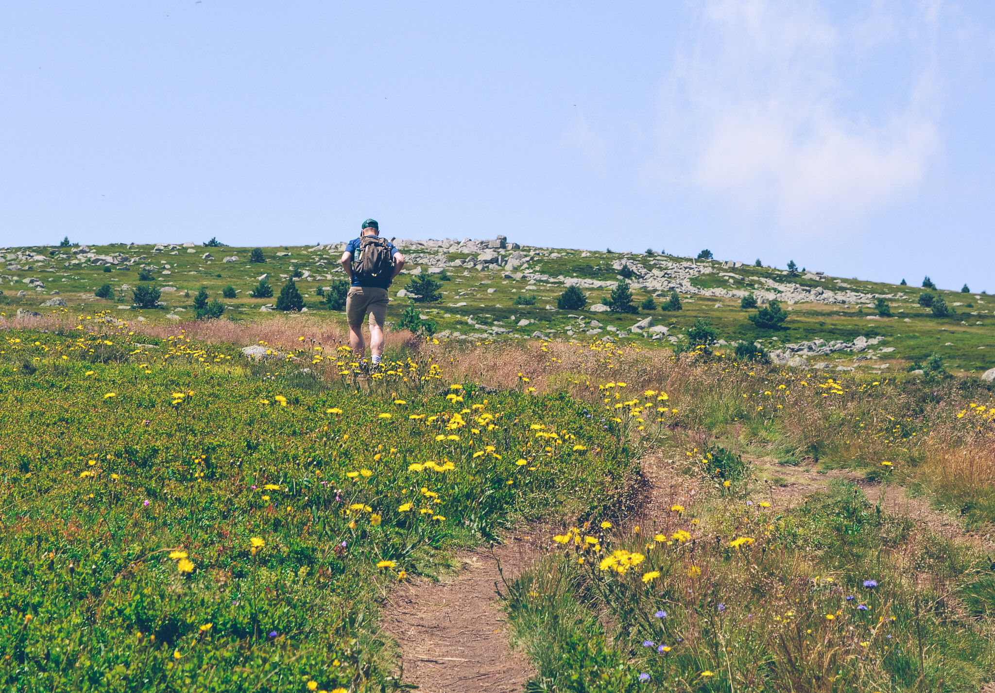
The higher we climb, the more rugged the landscape becomes, and the trees fade from view. The approach to the gentle, rounded summitPic de Finiels (1699 m above sea level)does not require difficult technical climbing; it is a small, pleasant physical effort that older children or those in recreational shape can easily manage.
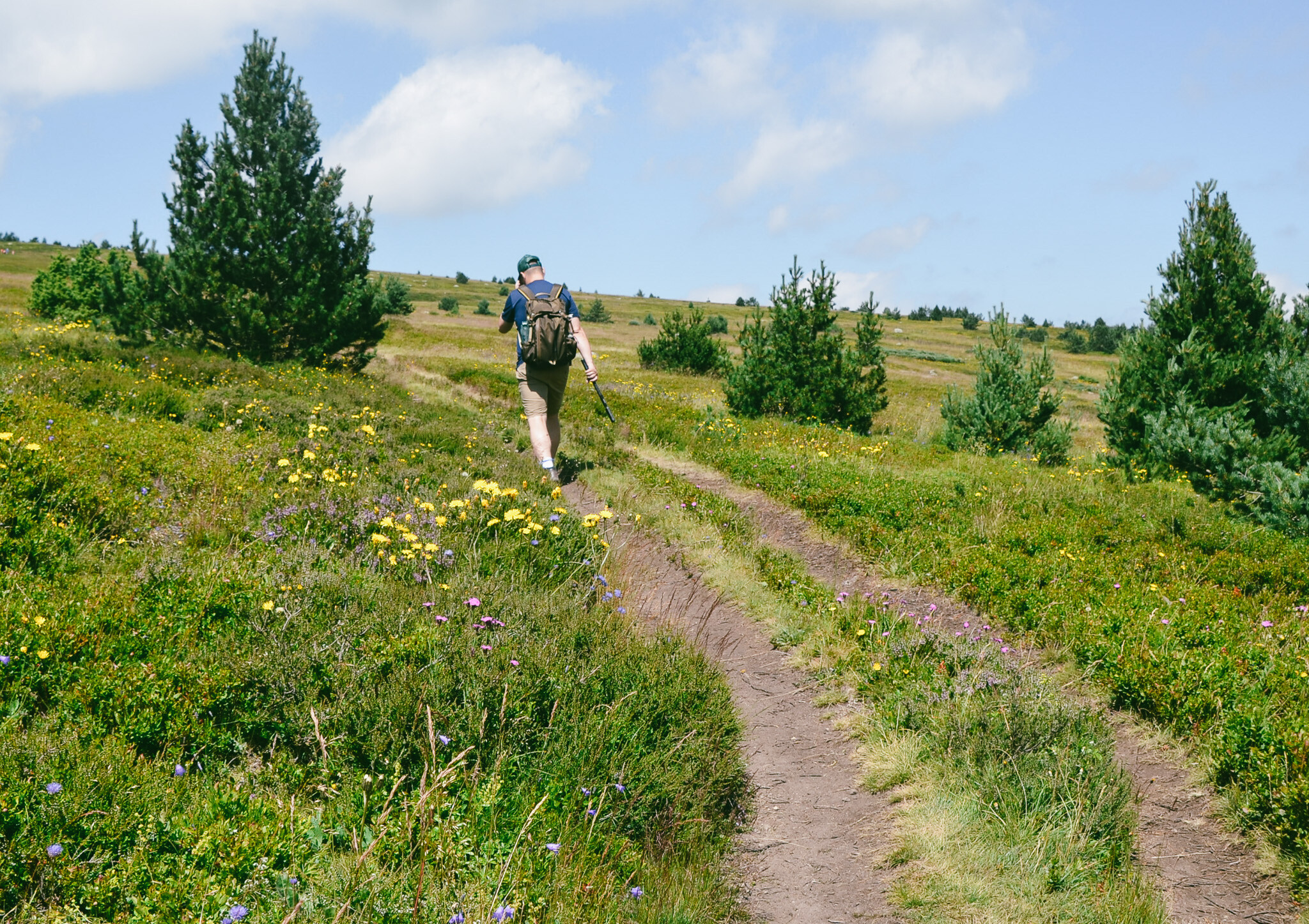
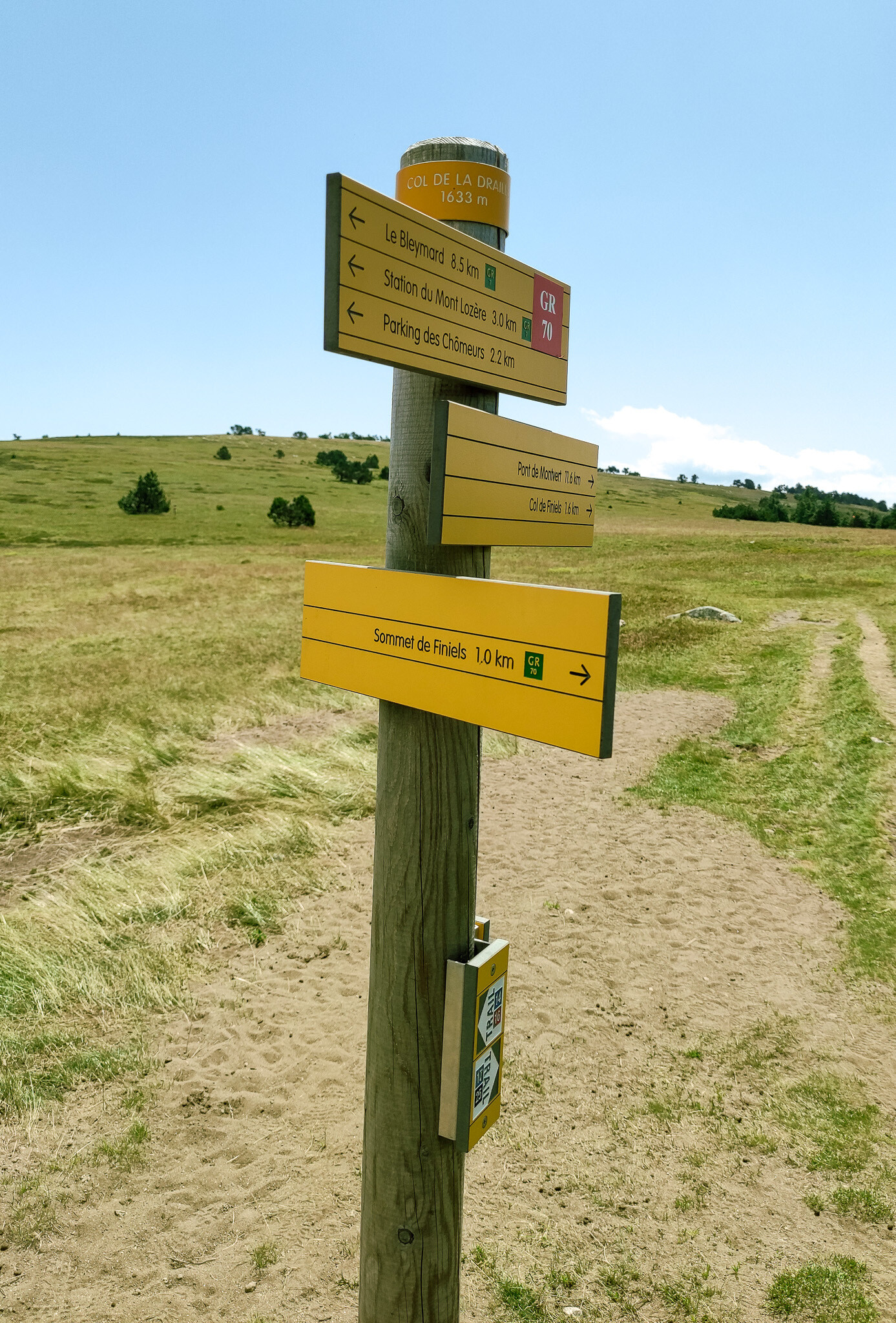
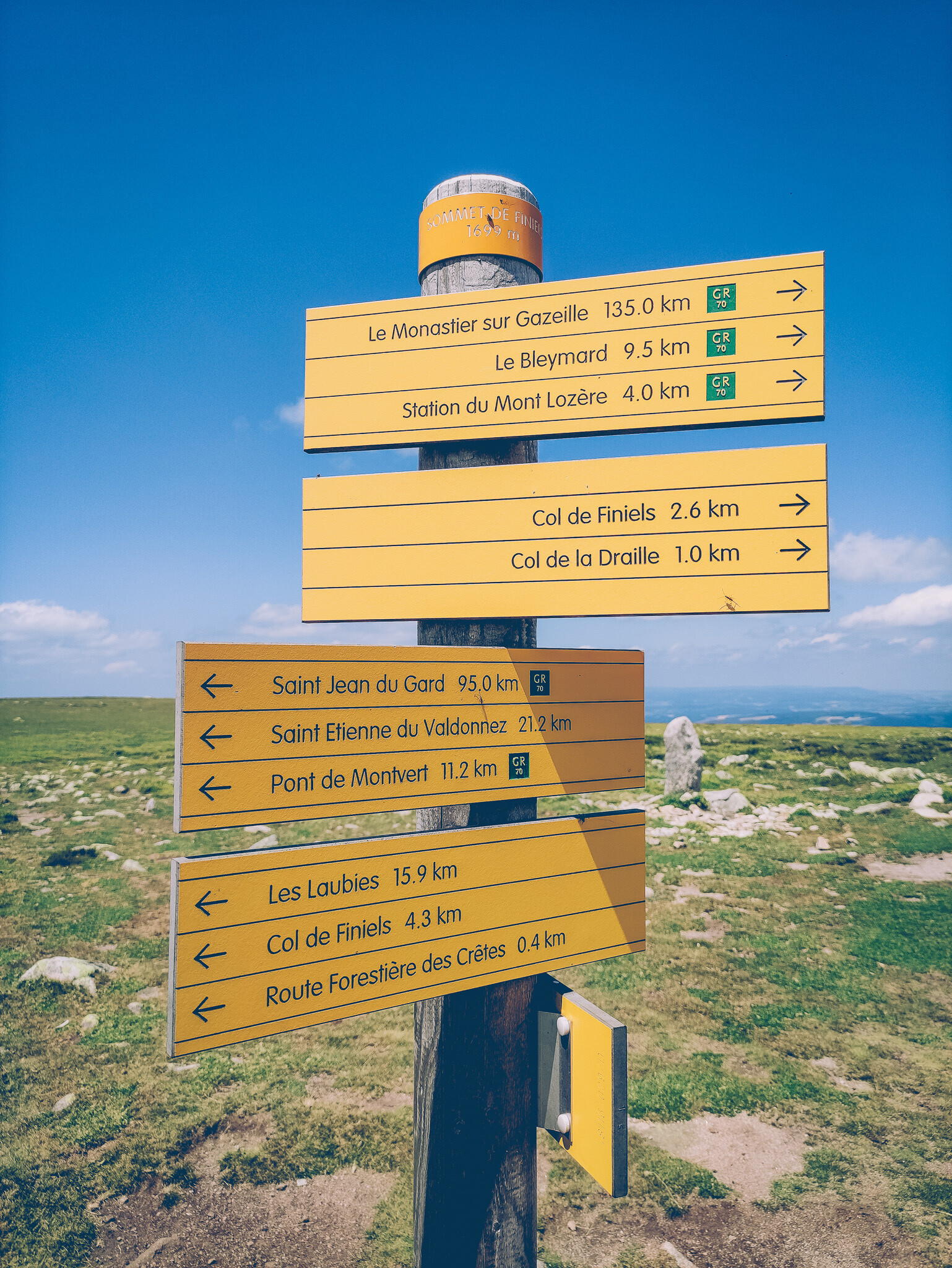
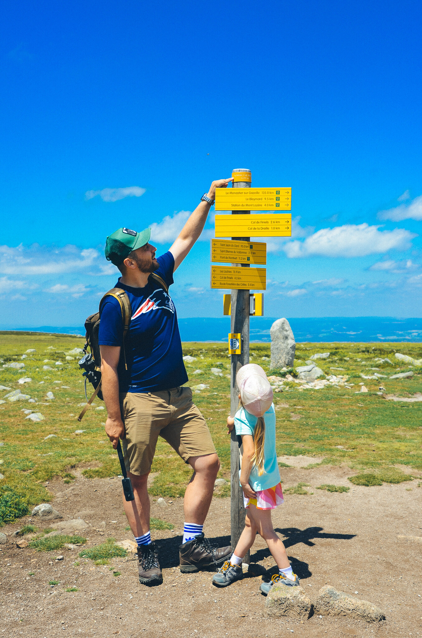
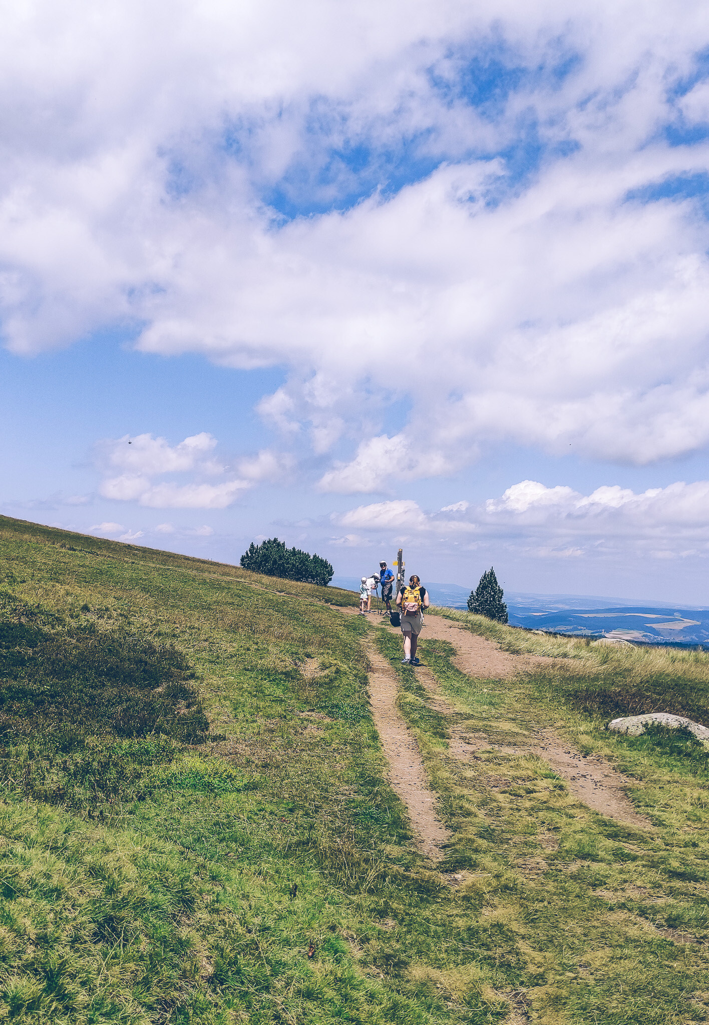
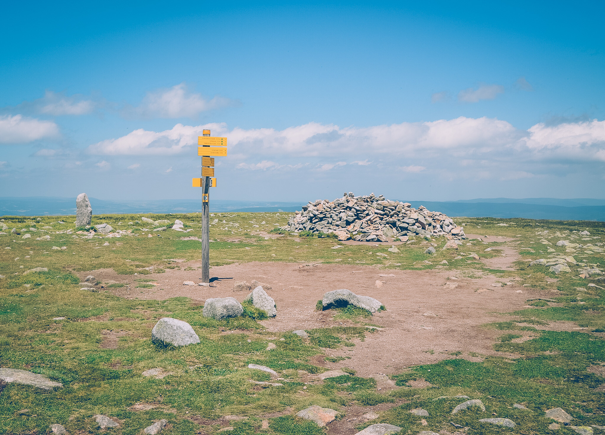
On the way, we pass a distinctive post with signposts at the pass Col de la Daille (1633 m above sea level), which is a key junction of trails on the Mont Lozère plateau. It is here that our route intersects the famous trail marked with a red and white sign GR 70 (Stevenson Trail), leading towards Le Bleymard and the ski-tourist station Station du Mont Lozère.
The yellow sign reassures us that only the last 1-kilometer stretch of gentle ascent on a sandy-gravel path remains to the very summit Sommet de Finiels where an almost limitless expanse of rolling heaths and grasses opens up before us, accompanied by the wide sky and mountainous landscape of the Cévennes with each step.
Imagine a place where the horizon knows no end, trails lead through rugged, heather-covered plateaus, and the wind carries with it an incredible sense of space and freedom. It is quiet, wild, and monumental. There are no commercial attractions, crowds of tourists, or haste. Instead, there is the raw nature of the Cévennes National Park, which from the very first steps encourages you to slow down and immerse yourself in a leisurely hike.
"Pic de Finiels i Cévennes: trekking, legendarny wodospad i tajemnicze menhiry"
The Cévennes are vast, incredibly beautiful, and still relatively unknown in Poland. It's one of those regions in France that makes you want to pack a backpack, put on comfortable hiking shoes, and head out.
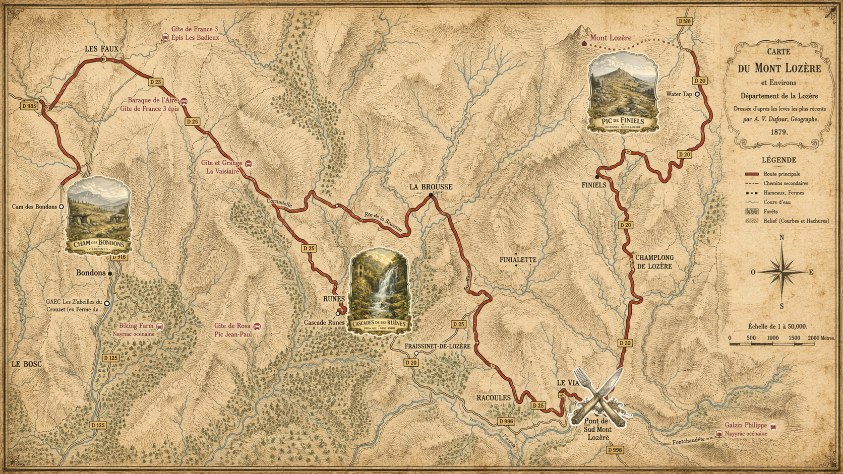
Our tour route creates an incredibly picturesque loop along the local roads D20, D25, and D998 through the very heart of the Cévennes National Park. It starts at the foot of the majestic peak Pic de Finiels, from where it descends towards the charming Le Pont-de-Montvert, an ideal spot for lunch and a moment of relaxation by the river. From there, winding roads lead directly to the roaring waterfall Cascade de Rûnes and atmospheric settlements, ultimately bringing us to the mystical plateau Cham des Bondons.
The Cévennes region is also famous for one of the most well-known hiking trails in France -GR 70, also known as the Stevenson Trail (Chemin de Stevenson). The name comes from the Scottish writer Robert Louis Stevenson (author of "Treasure Island"), who traversed this area on foot in 1878 accompanied by... a donkey named Modestine. To this day, walking this trail with a rented donkey carrying the luggage is an absolute hit and a tradition of this region.
We would love to experience such a multi-day adventure someday, hiking through the Cévennes with a donkey by our side; it's the perfect recipe for slow travel! Moreover, this extraordinary atmosphere and the adventures along the way are wonderfully and gracefully depicted in the French romantic comedy "The Donkey, the Lover, and Me" (Antoinette dans les Cévennes). If you haven't seen it yet, I highly recommend it before heading to this area!
Follow us on social media:
The website created using the WebWave.